The Digital Agriculture Investment Scheme is now closed
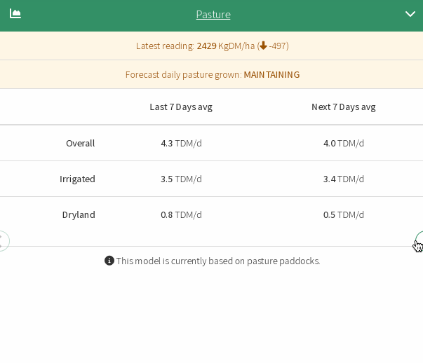
This was a Unique Opportunity for Red Meat and Dairy Producers in Victoria towards Satellite Pasture Measurement and Animal Tracking here at Pasture.io
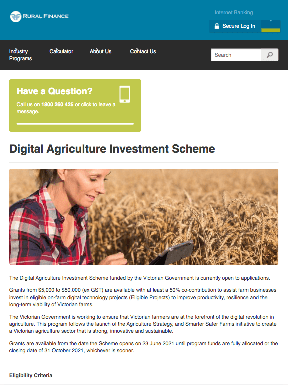
The Victorian Government launched the $10 million Digital Agriculture Investment Scheme with grants from $5k to $50k open from June 23 2021 and quickly reached full subscription numbers